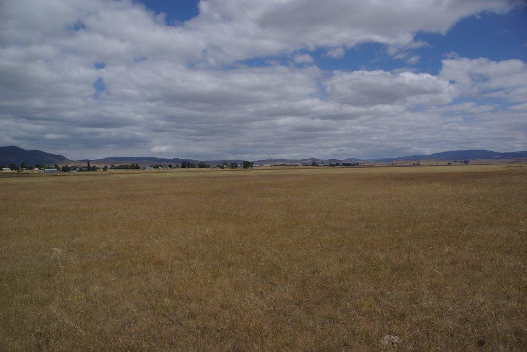
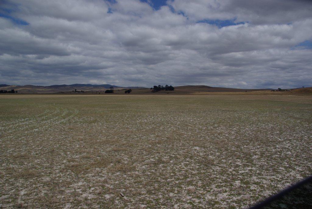
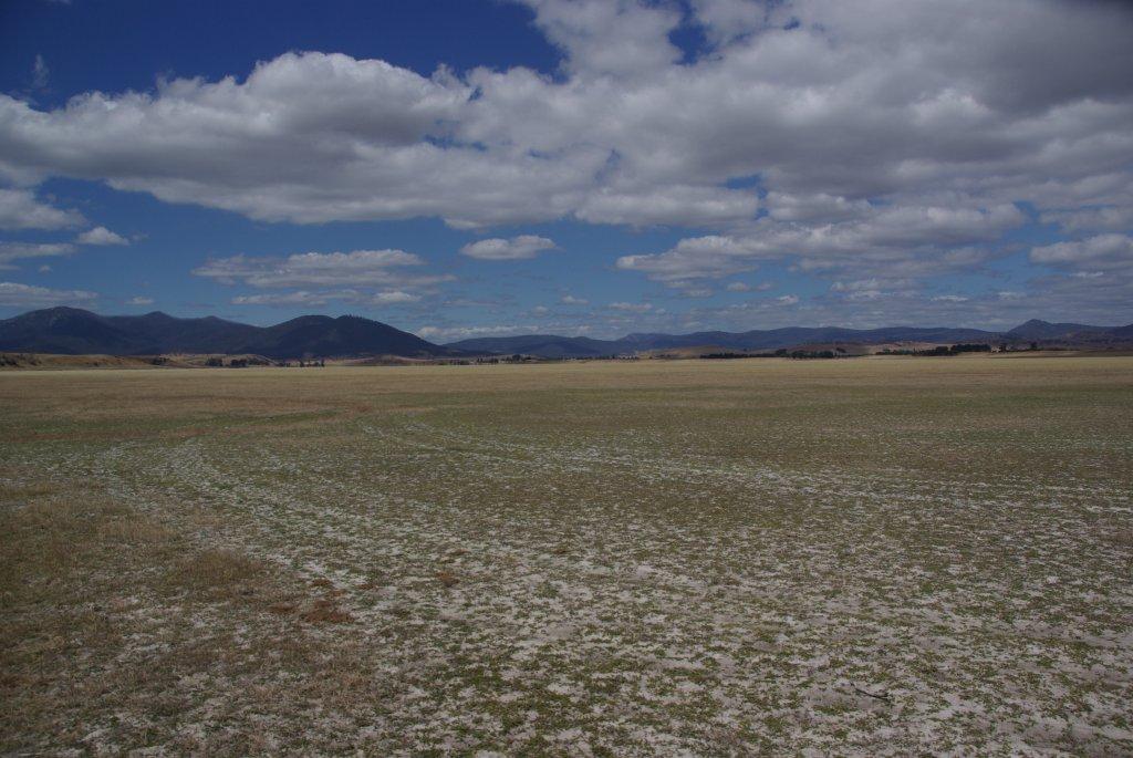
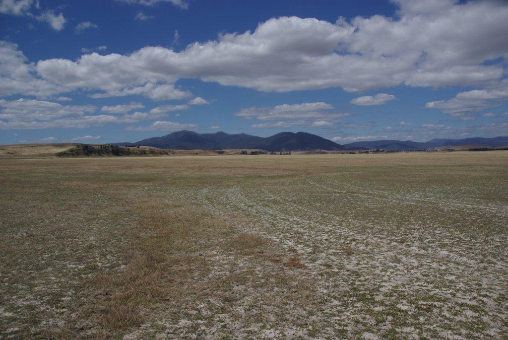
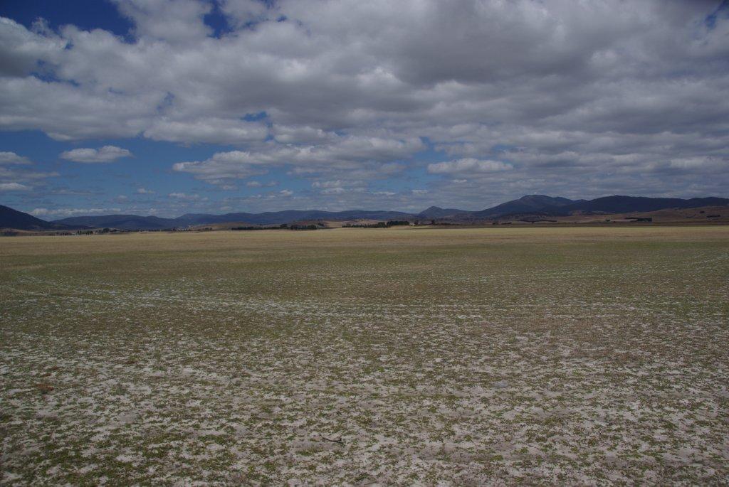
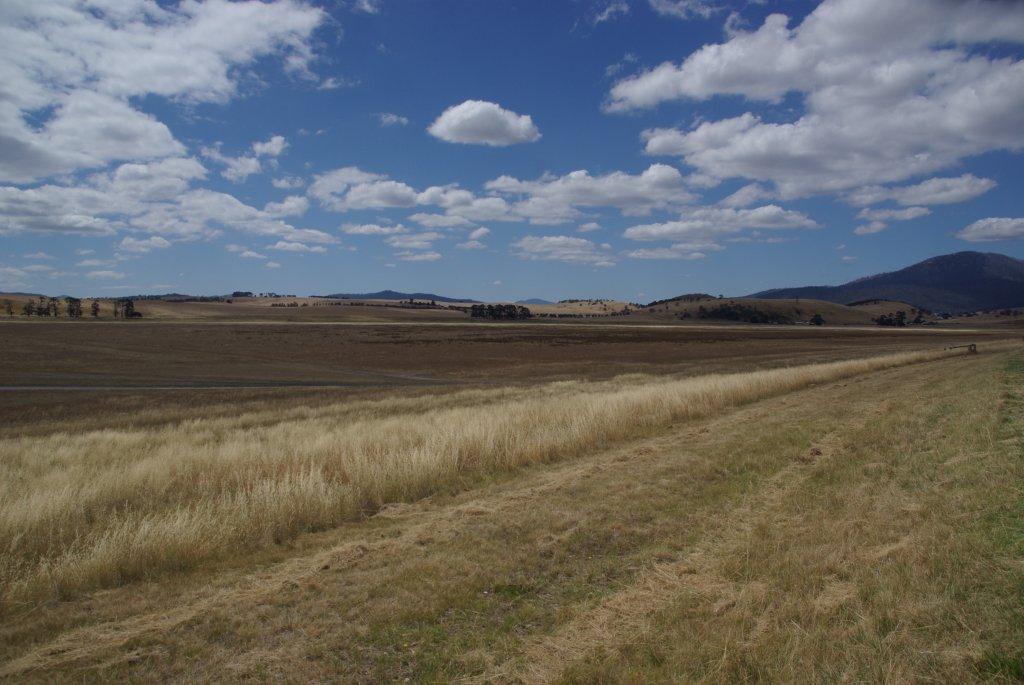
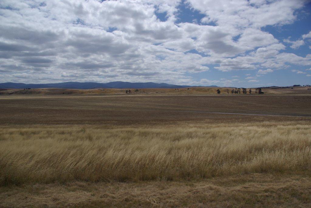
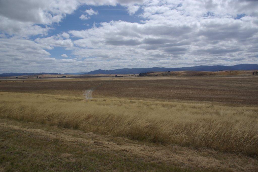
Lake Omeo
Victoria
One kilometre West of Benambra.
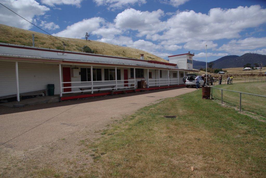
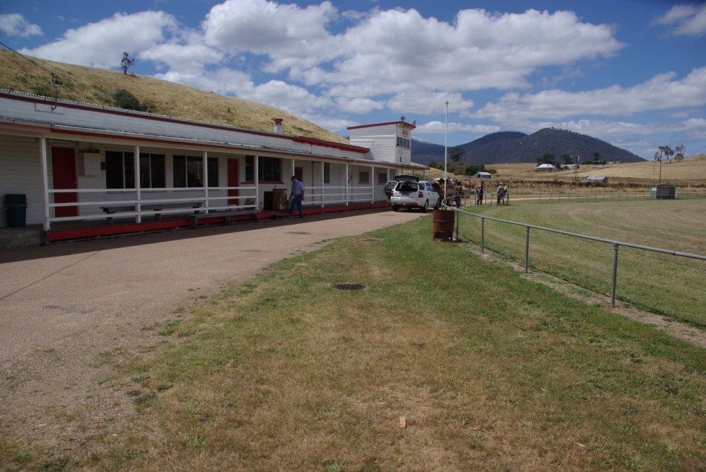
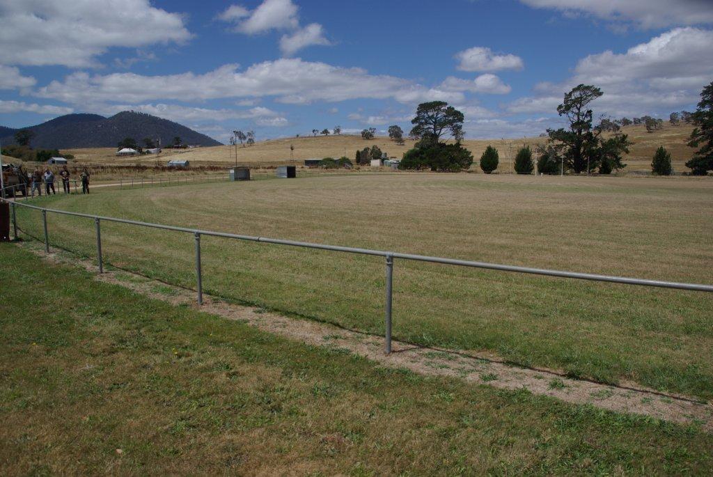
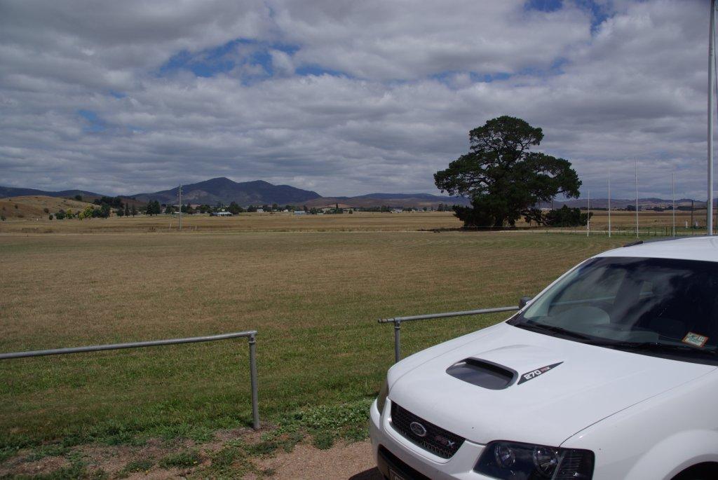
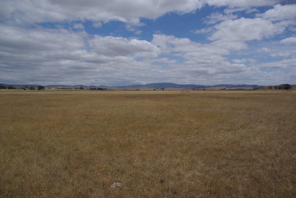
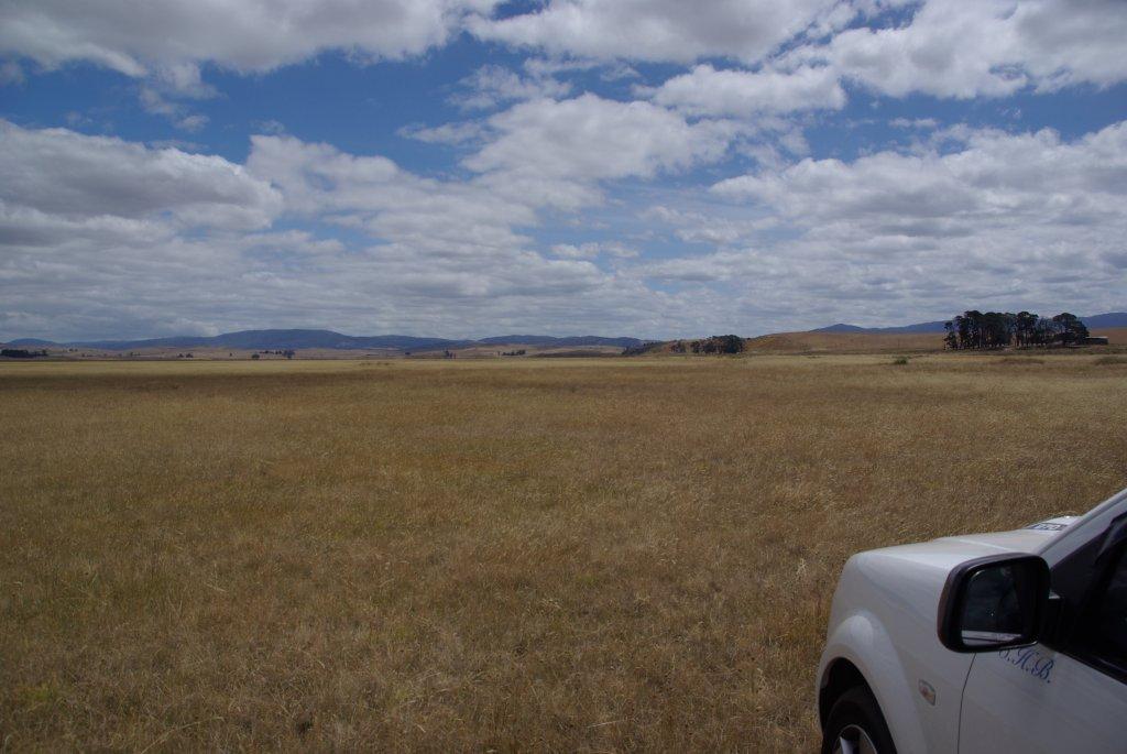
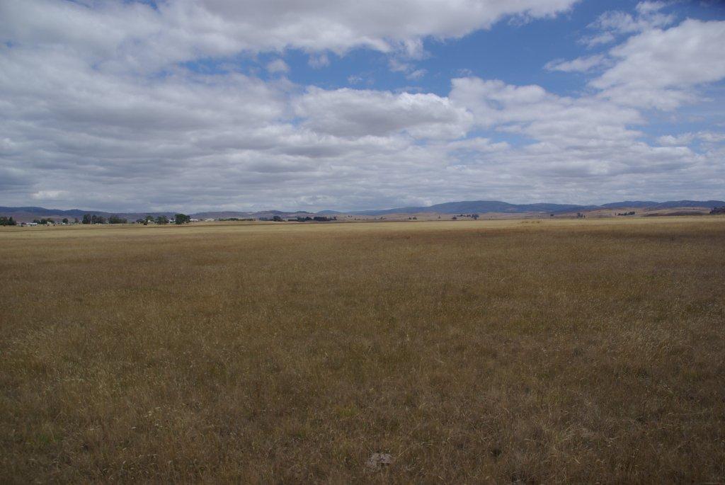
The town of Benambra is on the shores of Lake Omeo which can also serve as a tourist attraction, however this lake only irregularly holds water at present. During wetter times a pier and public toilets were built at the top end of the lake furthest from the town where the lake is at its maximum depth. The depth varies when full from about 3m at the top end to about 1m at the town end, where the lake will flood across the sealed road. When holding sufficient water, the lake has hosted sailing, and, later, speed boat races; the last speed boat races were held on Australia Day in January, 1975.
Lake Omeo, to the northeast of the town, is a salt lake 683m above sea level in an extinct volcano, where there is a tremendous variety of birdlife.
| Abstract: | Lake formed through the defeat of a stream by back tilting along the Morass Creek Fault. |
|
Access: |
Blowhard Road. |
|
Ownership: |
The Lake is Crown Land while all the surrounds are privately owned. |
|
Geology: |
Lake Omeo occupies a basin cut in Ordovician schists and granitic rocks, which outcrop in steep bluffs to the west and north of the Lake. The eastern side of the lake basin is bounded by a ridge of Ordovician sediments, a small horst block, which separates the lake from the Morass Creek alluvial flats. |
|
Geomorpholgy: |
Like Omeo originated through the damming of a small tributary of Morass Creek as a result of back tilting along the faults to the east of the lake. Another small tributary north of Lake Omeo, was diverted into the lake by fault movement. The lake basin is a broad flat plain which is only inundated during periods of high rainfall . It is bordered on the south-east by an arenate ridge of silts, clays and sands which separate the lake from swamp and alluvial terrace deposits to the east. The ridge has the form and composition of lunette. Small, well-developed lakeshore terraces occur around the lake and are prominent on the northern and eastern shores. Narrow gravel beaches composed of schist fragments and quartz occur at the base of the bluff on the western lake shoreline. |
|
Significance: |
State. Outstanding example of a lake basin developed by drainage disruption due to faulting. The crescentic ridge on the eastern side of the lake described as a lunette, is a unique landform in the highlands of eastern Victoria. The lake shore features display contrasting phases of lake evolution including periods of deep water (eg. Wave cut shoreline terrace) and more arid phases leading to lunette development. |
|
Management: |
The significance of the site requires the preservation of the lake shore features. |
|
References: |
Hills (1975) |
|
Temperature
Average daily mean temperatures are highest during the summer and lowest in winter. In Omeo the mean daily average temperatures from May to September are below 100C, which retards plant growth. In July they are below 5.6 0C which prevents plant growth (Rowe, 1967). The Bureau of Meteorology does not collect temperature data for Swifts Creek
Mean maximum and monthly temperatures and related plant growth for Omeo
| Jan | Feb | Mar | Apr | May | Jun | July | Aug | Sept | Oct | Nov | Dec | |
| Omeo | ||||||||||||
| Mean maximum temp. | 25.3 | 25.4 | 22.3 | 18.1 | 14.2 | 10.8 | 10.2 | 11.7 | 14.5 | 17.5 | 20.3 | 23.4 |
| Mean minimum temp. | 10 | 9.8 | 7.9 | 4.9 | 2.7 | 0.6 | -0.3 | 0.7 | 2.8 | 4.5 | 6.5 | 8.1 |
| Average monthly temp | 17.7 | 17.6 | 15.1 | 11.5 | 8.5 | 5.7 | 5 | 6.2 | 8.7 | 11 | 13.4 | 15.8 |
| Plant growth retarded | NO | NO | NO | NO | YES | YES | YES | YES | YES | NO | NO | NO |
| Plant growth prevented | NO | NO | NO | NO | NO | NO | YES | NO | NO | NO | NO | NO |
Source: Bureau of Meteorology, Australian Government. Data are in degrees centigrade.
Plant growth interpretations Rowe (1967)
Rainfall
Moist west to north-westerly airstreams, lifted by the north-western face of the highlands, deposit most of their moisture on the lower slopes to windward and on the high elevations (LCC 1982). Rain shadows therefore occur on the leeside of the high Hotham-Bogong High Plains which reduces the area’s annual rainfall to about 620 – 670 mm (24 - 26 inches). Although the Cassilis Valley has no official weather station it receives more rainfall than Swifts Creek; with the long term average at Cassilis believed to be about 800 mm (Rees 1995).
Table 3: Mean annual rainfall for Omeo, Tongio and Swifts Creek.
| Jan | Feb | Mar | April | May | June | July | Aug | Sept | Oct | Nov | Dec | Total | |
| Omeo 1879-2008 |
51.9 | 51.8 | 52.7 | 45.2 | 50.4 | 56.3 | 52.2 | 55.9 | 61.3 | 70.5 | 64.8 | 60.3 | 673.6 |
| Omeo 1997-2008 |
44.9 | 51.0 | 36.9 | 32.9 | 29.5 | 64.8 | 48.3 | 50.2 | 56.2 | 46.7 | 74.3 | 42.3 | 577.9 |
| Tongio 1923-2007 |
51.0 | 48.7 | 50.1 | 45.3 | 45.9 | 54.1 | 48.2 | 50.7 | 53.8 | 66.4 | 68.2 | 62.7 | 653.8 |
| Swifts Ck 1938-2008 |
54.4 | 48.4 | 50.2 | 43.9 | 41.8 | 48.7 | 38.0 | 41.5 | 46.9 | 65.4 | 67.7 | 61.8 | 621.6 |
| Swifts Ck 1997-2008 |
44.0 | 42.4 | 33.5 | 35.6 | 26.5 | 61.1 | 33.5 | 36.3 | 44.5 | 32.3 | 68.7 | 46.2 | 504.5 |
Mean precipitation at Omeo and Swifts Creek is relatively uniformly distributed (Table 3), but there is a slight depression in the winter rainfall, and spring is slightly wetter than the other seasons. Summer rainfall at Omeo is mostly the result of thunderstorms that are not affected by the landmass to the north-west (Rowe 1967). Summer thunderstorms are caused by convection and occur erratically, but falls are often heavy and occasionally contribute to rainfall in rain shadow areas (LCC 1982). Rowepoints out rainfall intensities, when considered with changes in ground cover, should provide an indication of the potentially critical periods for erosion and the severity of this hazard.
Also included in Table 3 is the 12 year record (1996 – 2008) for Omeo and Swifts Creek. Over the last twelve years, the average rainfall is well down on the long term average by about 100 mm. The most reliable rainfall over this period has occurred in June, September and November.
Table 3 does not give any indication of the variability of the rainfall. From year to year the monthly rainfall is highly variable, which makes it difficult to predict beginning and end of the growing season.
(Photos taken by Rod Hadfield 05/02/2012)
Reference Material
- Airports
- Biology
- Climate
- Geography
- Geological
- Government
- History
- Lunar
- Mining
- Native Title
- Salt Lakes of Australia
- Salt / Dry Lakes of the World
- Glossary